-

The entrance to Knockgray
-
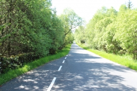
Road to Carsphairn near Twin Knowes
The entrance to Knockgray
Road to Carsphairn near Twin Knowes
Location and coordinates are for the approximate centre of Brae Plantation within this administrative area. Geographic features and populated places may cross administrative borders.