-
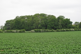
Looking to a wood over arable land, near Lower House Farm, Higham Marsh
-
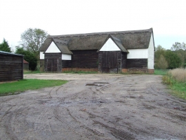
Barn
Looking to a wood over arable land, near Lower House Farm, Higham Marsh
Barn
Location and coordinates are for the approximate centre of Bradick's Pond within this administrative area. Geographic features and populated places may cross administrative borders.