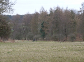
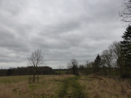
Bracken Plantation, Lincolnshire

« Gazetteer Entry
Upload Photo

Bracken Plantation, Lincolnshire

  • Parish/Community: Swinstead
  • District/Borough: South Kesteven
  • County: Lincolnshire
  • Region: East Midlands
  • Category: Landcover
  • Type: Forest or Wood
  • Latitude/Longitude: 52°46'21"N 0°28'49"W
  • Eastings/Northings: 502616, 320536
  • OS Grid: TF026205
  • Mapcode Local: GBR FTD.5CW
  • Mapcode Global: WHGLB.LKGQ

Location and coordinates are for the approximate centre of Bracken Plantation within this administrative area. Geographic features and populated places may cross administrative borders.

BritishPlaceNames.uk is a Good Stuff website.