-
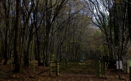
Birchen Spring wood
-
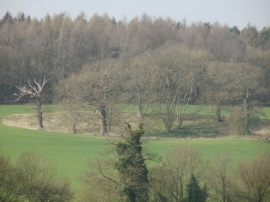
Trees and fields between Amersham Road and Seer Green
Birchen Spring wood
Trees and fields between Amersham Road and Seer Green
Location and coordinates are for the approximate centre of Bottom Wood within this administrative area. Geographic features and populated places may cross administrative borders.