-
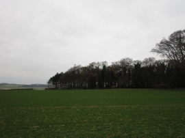
Shelter belt, Cottam Warren Farm
-
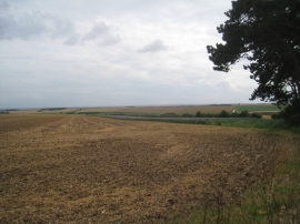
Harvested field with strip of borage
Shelter belt, Cottam Warren Farm
Harvested field with strip of borage
Location and coordinates are for the approximate centre of Bortree Dale within this administrative area. Geographic features and populated places may cross administrative borders.