-
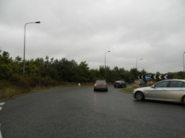
Roundabout at the end of Elstead Road
-
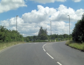
B3001 roundabout junction with A283
Roundabout at the end of Elstead Road
B3001 roundabout junction with A283
Location and coordinates are for the approximate centre of Bonville Hanger within this administrative area. Geographic features and populated places may cross administrative borders.