-
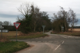
Junction of Well High Lane and Miles Cross Lane (A1104)
-
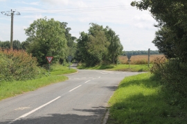
Looking across A1104 into Well High Lane
Junction of Well High Lane and Miles Cross Lane (A1104)
Looking across A1104 into Well High Lane
Location and coordinates are for the approximate centre of Bogle Holt within this administrative area. Geographic features and populated places may cross administrative borders.