-

Bodenham Farm near Kingsford
-
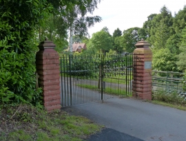
Gateway to Bodenham Farm and Lodge
Bodenham Farm near Kingsford
Gateway to Bodenham Farm and Lodge
Location and coordinates are for the approximate centre of Bodenham Wood within this administrative area. Geographic features and populated places may cross administrative borders.