-
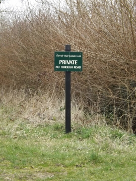
Gawdy Hall Estates Ltd sign
-
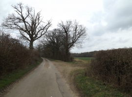
Green Lane & track
Gawdy Hall Estates Ltd sign
Green Lane & track
Location and coordinates are for the approximate centre of Blake's Grove within this administrative area. Geographic features and populated places may cross administrative borders.