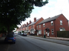
Blakebrook, Worcestershire

« Gazetteer Entry
Upload Photo

Blakebrook, Worcestershire

Other current and historical names

  • Habberley
  • Summerhill
  • Built-Up Area: Kidderminster
  • Parish/Community: Kidderminster
  • District/Borough: Wyre Forest
  • County: Worcestershire
  • Region: West Midlands
  • Category: Populated Place
  • Type: Suburban Area
  • Latitude/Longitude: 52°23'6"N 2°15'34"W
  • Eastings/Northings: 382437, 276370
  • OS Grid: SO824763
  • Mapcode Local: GBR 0BF.KKW
  • Mapcode Global: VH91T.S9CY

Location and coordinates are for the approximate centre of Blakebrook within this administrative area. Geographic features and populated places may cross administrative borders.

BritishPlaceNames.uk is a Good Stuff website.