-

Woodland east of Brightley
-
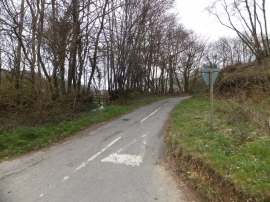
Minor road at Chichacott Down Bridge
Woodland east of Brightley
Minor road at Chichacott Down Bridge
Location and coordinates are for the approximate centre of Blackstubs Moor within this administrative area. Geographic features and populated places may cross administrative borders.