-
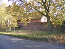
Buildings at Norfolk Pet Crematorium
-
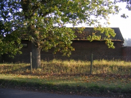
Buildings at Norfolk Pet Crematorium
Buildings at Norfolk Pet Crematorium
Buildings at Norfolk Pet Crematorium
Location and coordinates are for the approximate centre of Blackrow Plantn within this administrative area. Geographic features and populated places may cross administrative borders.