-

The Ashes Low Dinsdale
-
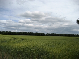
Field beside Sockburn Lane
The Ashes Low Dinsdale
Field beside Sockburn Lane
Location and coordinates are for the approximate centre of Black Wood within this administrative area. Geographic features and populated places may cross administrative borders.