-
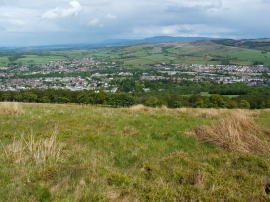
Moorland above Long Strip Wood
-
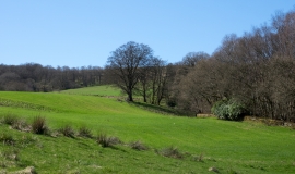
Farmland on west side of A82 near Alexandria
Moorland above Long Strip Wood
Farmland on west side of A82 near Alexandria
Location and coordinates are for the approximate centre of Black Strip Wood within this administrative area. Geographic features and populated places may cross administrative borders.