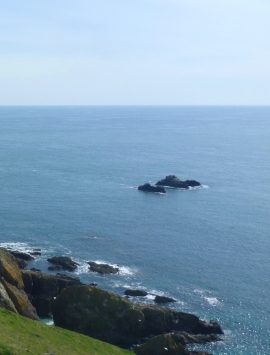
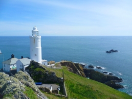
Black Stone, Devon

« Gazetteer Entry
Upload Photo

Black Stone, Devon

  • Parish/Community: Stokenham
  • District/Borough: South Hams
  • County: Devon
  • Region: South West
  • Category: Water Feature
  • Type: Island
  • Latitude/Longitude: 50°13'9"N 3°38'23"W
  • Eastings/Northings: 283115, 36755
  • OS Grid: SX831367
  • Mapcode Local: GBR QQ.MLLB
  • Mapcode Global: FRA 388F.V4Y

Location and coordinates are for the approximate centre of Black Stone within this administrative area. Geographic features and populated places may cross administrative borders.

BritishPlaceNames.uk is a Good Stuff website.