-

Tarn on Baxton Fell
-
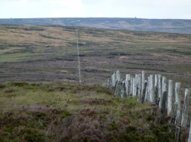
Moorland fence leading to Baxton Fell
Tarn on Baxton Fell
Moorland fence leading to Baxton Fell
Location and coordinates are for the approximate centre of Black Brook within this administrative area. Geographic features and populated places may cross administrative borders.