-
Field near Bitchfield
-

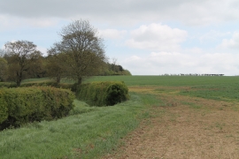
Farm Track and Crop Fields off Corby Road
Field near Bitchfield
Farm Track and Crop Fields off Corby Road
Location and coordinates are for the approximate centre of Bitchfield Wood within this administrative area. Geographic features and populated places may cross administrative borders.