-
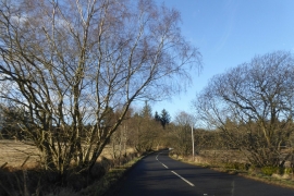
B824 to the west of Keir roundabout
-
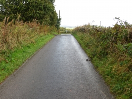
Road near Hillside of Row heading for the B824
B824 to the west of Keir roundabout
Road near Hillside of Row heading for the B824
Location and coordinates are for the approximate centre of Biggins Wood within this administrative area. Geographic features and populated places may cross administrative borders.