-

Mid Devon : Sheep Grazing
-
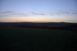
Mid Devon : Grassy Field at Dusk
Mid Devon : Sheep Grazing
Mid Devon : Grassy Field at Dusk
Location and coordinates are for the approximate centre of Bickleigh Wood within this administrative area. Geographic features and populated places may cross administrative borders.