-
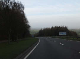
The northbound carriageway of A380 descending Telegraph Hill
-
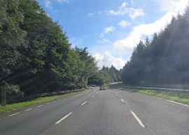
A380 east of Round Plantation
The northbound carriageway of A380 descending Telegraph Hill
A380 east of Round Plantation
Location and coordinates are for the approximate centre of Bickham Wood within this administrative area. Geographic features and populated places may cross administrative borders.