-
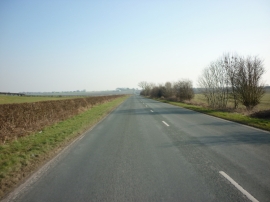
The B1248 towards Wetwang
-
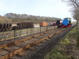
Fimber Halt, Yorkshire Wolds Railway
The B1248 towards Wetwang
Fimber Halt, Yorkshire Wolds Railway
Location and coordinates are for the approximate centre of Bessingdale Plantn within this administrative area. Geographic features and populated places may cross administrative borders.