-
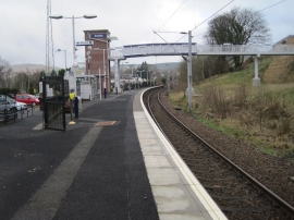
Inverkip railway station, Inverclyde
-
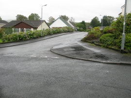
Kip Avenue, Inverkip
Inverkip railway station, Inverclyde
Kip Avenue, Inverkip
Location and coordinates are for the approximate centre of Berfern Plantation within this administrative area. Geographic features and populated places may cross administrative borders.