-
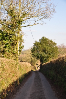
Mid Devon : Country Lane
-
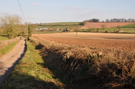
Mid Devon : Country Lane & Field
Mid Devon : Country Lane
Mid Devon : Country Lane & Field
Location and coordinates are for the approximate centre of Bening's Wood within this administrative area. Geographic features and populated places may cross administrative borders.