-
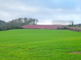
Arable land west of Dorstone
-
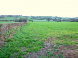
River Dore valley floor
Arable land west of Dorstone
River Dore valley floor
Location and coordinates are for the approximate centre of Bell Alders within this administrative area. Geographic features and populated places may cross administrative borders.