-
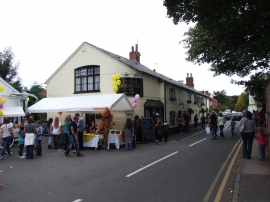
Ye Olde Horseshoe, Belbroughton
-
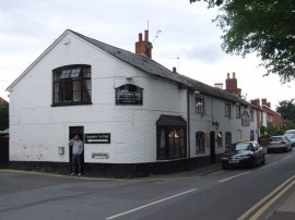
The Olde Horseshoe Inn, Belbroughton
Ye Olde Horseshoe, Belbroughton
The Olde Horseshoe Inn, Belbroughton
Location and coordinates are for the approximate centre of Belbroughton within this administrative area. Geographic features and populated places may cross administrative borders.