-
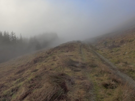
Track below Beinn an Fhogharaidh
-
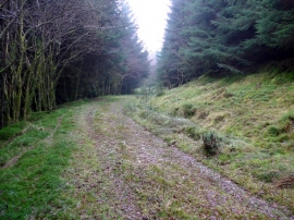
Forestry track by Meall Dubh
Track below Beinn an Fhogharaidh
Forestry track by Meall Dubh
Location and coordinates are for the approximate centre of Beinn an Fh within this administrative area. Geographic features and populated places may cross administrative borders.