-
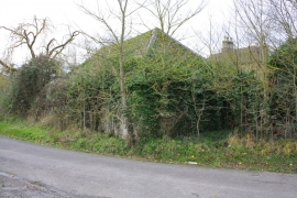
Hall Farm barn on Spring Hill Road
-
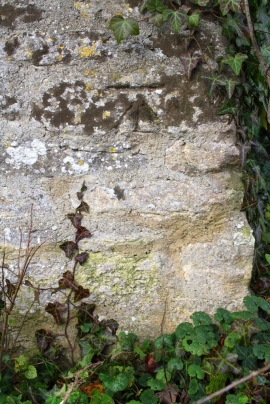
Benchmark on barn of Hall Farm, Spring Hill Road
Hall Farm barn on Spring Hill Road
Benchmark on barn of Hall Farm, Spring Hill Road
Location and coordinates are for the approximate centre of Begbroke Wood within this administrative area. Geographic features and populated places may cross administrative borders.