-
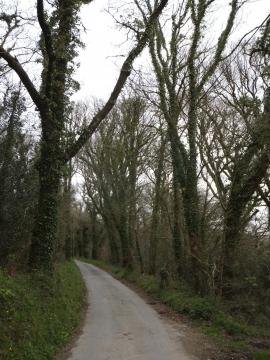
Minor road through woods on Beara Down
-

Start of a bridleway on Beara Down
Minor road through woods on Beara Down
Start of a bridleway on Beara Down
Location and coordinates are for the approximate centre of Beara Down within this administrative area. Geographic features and populated places may cross administrative borders.