-
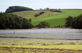
Across Frogmore Creek
-
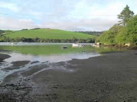
Across Southpool Creek to Westerncombe
Across Frogmore Creek
Across Southpool Creek to Westerncombe
Location and coordinates are for the approximate centre of Beaconspark Plantation within this administrative area. Geographic features and populated places may cross administrative borders.