-
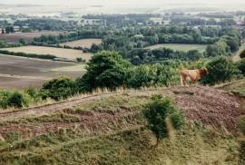
View from Battlesbury Hill
-
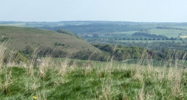
2010 : South east on Battlesbury Hill
View from Battlesbury Hill
2010 : South east on Battlesbury Hill
Location and coordinates are for the approximate centre of Battlesbury Wood within this administrative area. Geographic features and populated places may cross administrative borders.