-
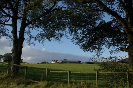
Templandmuir Farm
-
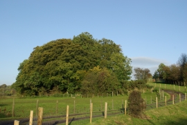
Track leading to Bathbank Cottage
Templandmuir Farm
Track leading to Bathbank Cottage
Location and coordinates are for the approximate centre of Bathbank Plantation within this administrative area. Geographic features and populated places may cross administrative borders.