-
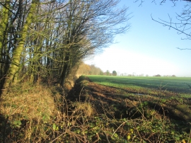
Along the woodland towards Dam Wood Lane
-
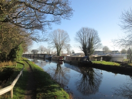
Shaw Hall Moorings and caravan site
Along the woodland towards Dam Wood Lane
Shaw Hall Moorings and caravan site
Location and coordinates are for the approximate centre of Bath Wood within this administrative area. Geographic features and populated places may cross administrative borders.