Sod Dyke (Turf Wall) on Barrow Law
Uploader's Comments
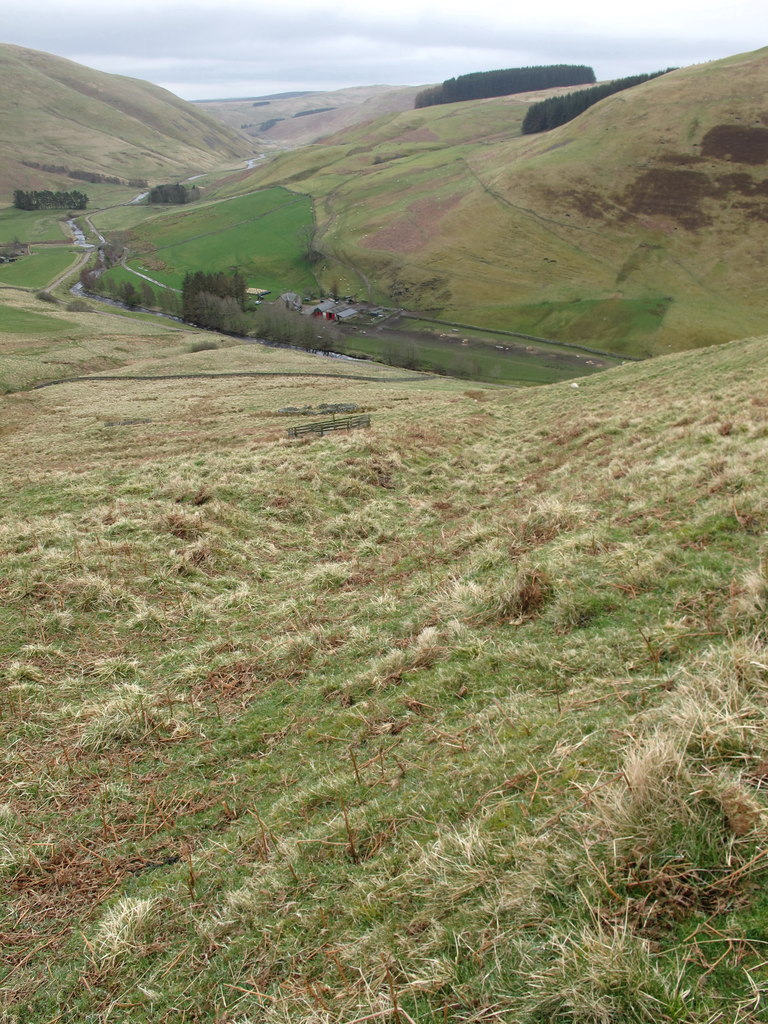
The linear mound to the left of the linear indentation running downhill is thought to be a sod dyke (turf wall) dating back to the 13th century which delineated land occupied by Henry the Crossbowman and land occupied by the Monks of Newminster
Uploaded to Geograph by Geoff Holland on 14 April 2016


