-
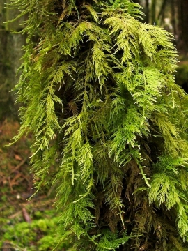
Common Tamarisk-moss
-
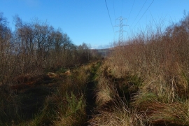
Clear lane in Barr Wood
Common Tamarisk-moss
Clear lane in Barr Wood
Location and coordinates are for the approximate centre of Barr Wood within this administrative area. Geographic features and populated places may cross administrative borders.