-

Up Cerne, Wessex Ridgeway
-
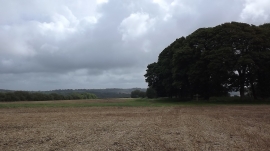
A signposted crossing of the ways on the Dorset downs
Up Cerne, Wessex Ridgeway
A signposted crossing of the ways on the Dorset downs
Location and coordinates are for the approximate centre of Barn Bottom Coppice within this administrative area. Geographic features and populated places may cross administrative borders.