-
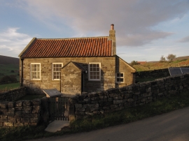
The Old School House
-
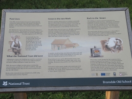
Information board at the old School House
The Old School House
Information board at the old School House
Location and coordinates are for the approximate centre of Barker Plantn within this administrative area. Geographic features and populated places may cross administrative borders.