-
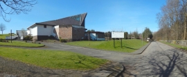
Church of St John Bosco, Erskine
-
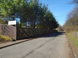
Barwood Road, Erskine
Church of St John Bosco, Erskine
Barwood Road, Erskine
Location and coordinates are for the approximate centre of Barhill Plantation within this administrative area. Geographic features and populated places may cross administrative borders.