-
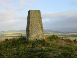
Triangulation pillar, Carrot Hill
-
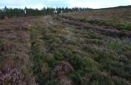
Lady Park on Carrot Hill
Triangulation pillar, Carrot Hill
Lady Park on Carrot Hill
Location and coordinates are for the approximate centre of Bankhead within this administrative area. Geographic features and populated places may cross administrative borders.