-
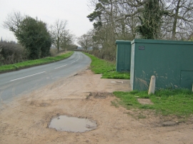
Main road to Clifton Campville
-
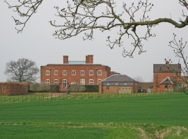
Clifton Park
Main road to Clifton Campville
Clifton Park
Location and coordinates are for the approximate centre of Bandland Coppice within this administrative area. Geographic features and populated places may cross administrative borders.