-
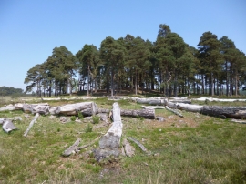
Cranes Moor, timber
-
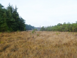
Kingston Great Common, grassland
Cranes Moor, timber
Kingston Great Common, grassland
Location and coordinates are for the approximate centre of Bagnum Rough within this administrative area. Geographic features and populated places may cross administrative borders.