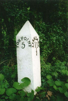
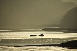
Baggmill Plantation, Cornwall

« Gazetteer Entry
Upload Photo

Baggmill Plantation, Cornwall

  • Parish/Community: Sheviock
  • Unitary Authority: Cornwall
  • Region: South West
  • Category: Landcover
  • Type: Forest or Wood
  • Latitude/Longitude: 50°22'11"N 4°16'52"W
  • Eastings/Northings: 237876, 54694
  • OS Grid: SX378546
  • Mapcode Local: GBR NP.V45Y
  • Mapcode Global: FRA 18X2.3ZH

Location and coordinates are for the approximate centre of Baggmill Plantation within this administrative area. Geographic features and populated places may cross administrative borders.

BritishPlaceNames.uk is a Good Stuff website.