-
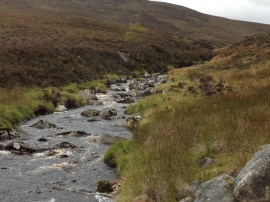
Abhainn a Choire Bhuig
-

Ford over Abhainn a Choire Bhuig
Abhainn a Choire Bhuig
Ford over Abhainn a Choire Bhuig
Location and coordinates are for the approximate centre of Bad an Rannaich within this administrative area. Geographic features and populated places may cross administrative borders.