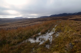
Bad an Achaidh, Highland

« Gazetteer Entry
Upload Photo

Bad an Achaidh, Highland

  • Unitary Authority: Highland
  • Region: Scotland
  • Category: Landcover
  • Type: Other Landcover
  • Latitude/Longitude: 58°11'40"N 3°33'18"W
  • Eastings/Northings: 308686, 923919
  • OS Grid: ND086239
  • Mapcode Local: GBR K7L2.87R
  • Mapcode Global: WH5DG.C9C8

Location and coordinates are for the approximate centre of Bad an Achaidh within this administrative area. Geographic features and populated places may cross administrative borders.

BritishPlaceNames.uk is a Good Stuff website.