-
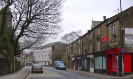
Bacup Bingo Hall, Burnley Road, Bacup
-
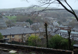
Overlooking Bacup from Bankside Lane
Bacup Bingo Hall, Burnley Road, Bacup
Overlooking Bacup from Bankside Lane
Other current and historical names
Location and coordinates are for the approximate centre of Bacup within this administrative area. Geographic features and populated places may cross administrative borders.