-
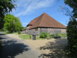
Converted barn at Iwood Farm
-
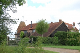
Iwood Granary Oast
Converted barn at Iwood Farm
Iwood Granary Oast
Location and coordinates are for the approximate centre of Bacon Hollow Wood within this administrative area. Geographic features and populated places may cross administrative borders.