-
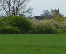
View towards St Martin's Church in Barholm
-
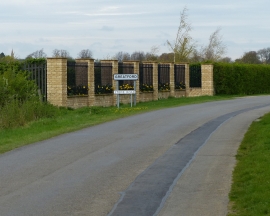
Greatford sign along Stowe Road
View towards St Martin's Church in Barholm
Greatford sign along Stowe Road
Location and coordinates are for the approximate centre of Back Gates Plantation within this administrative area. Geographic features and populated places may cross administrative borders.