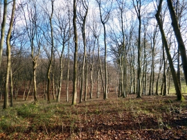
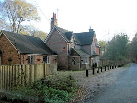
Bachelor's Green Wood, Oxfordshire

« Gazetteer Entry
Upload Photo

Bachelor's Green Wood, Oxfordshire

  • Parish/Community: Goring Heath
  • District/Borough: South Oxfordshire
  • County: Oxfordshire
  • Region: South East
  • Category: Landcover
  • Type: Forest or Wood
  • Latitude/Longitude: 51°30'11"N 1°2'26"W
  • Eastings/Northings: 466683, 178703
  • OS Grid: SU666787
  • Mapcode Local: GBR B3N.MQL
  • Mapcode Global: VHCZ3.XG6X

Location and coordinates are for the approximate centre of Bachelor's Green Wood within this administrative area. Geographic features and populated places may cross administrative borders.

BritishPlaceNames.uk is a Good Stuff website.