-

Auld Mains, Ethie
-
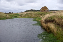
St Murdoch's Chapel, Ethie
Auld Mains, Ethie
St Murdoch's Chapel, Ethie
Location and coordinates are for the approximate centre of Auld Mains within this administrative area. Geographic features and populated places may cross administrative borders.