-
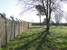
Built to keep intruders out
-
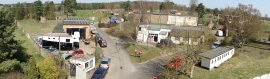
Panorama of ex-RAF Barnham
Built to keep intruders out
Panorama of ex-RAF Barnham
Location and coordinates are for the approximate centre of Aughton Spinney Belt within this administrative area. Geographic features and populated places may cross administrative borders.