-
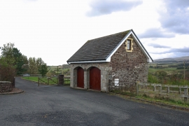
Stone garage at Hutchison
-

Minor road near Hutchison
Stone garage at Hutchison
Minor road near Hutchison
Location and coordinates are for the approximate centre of Ashfield within this administrative area. Geographic features and populated places may cross administrative borders.